Check the zones from the air before you bind.
Today an inspector drives to each address.
With Defensible Space you get a per-zone score for vegetation type, density and clearance around the structure, from imagery, to check against your own guideline.
- GSD
- ≤0.5 m (VHR)
- Cadence
- Annual
- Platform
- VHR satellite / aerial
- Spectral
- RGB + NIR
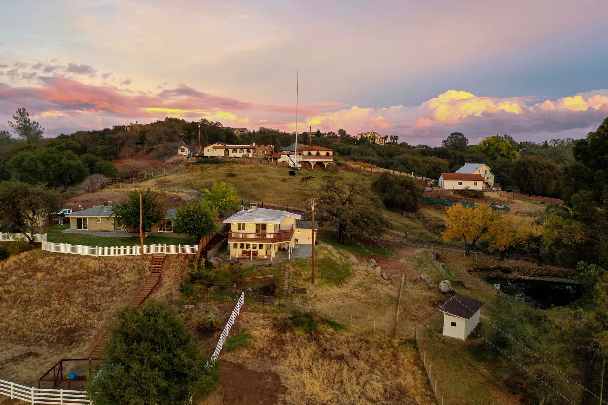
Where the inspection order runs out
A renewal batch lands and the wildfire-peril file needs a view of the vegetation around each structure. You order a drive-by or photo inspection address by address, and add whatever the policyholder sent in. Each report comes back with ground photos.
A book in the wildland-urban interface is too big to inspect in full, so you sample, and the addresses you skip include the one with a dense hedge against a wall, which nobody sees until a claim. When a policyholder disputes a finding, you trade photos.
The inspection, step by step
| Step | The drive-by inspection | With Defensible Space |
|---|---|---|
| 01Picking which addresses get looked at | The batch is sampled, or the addresses in the highest-hazard ZIP codes get ordered first. | Every address in the book gets a score, and the lowest ones go to the top of the inspection order. |
| 02Reading clearance around the structure | An inspector stands at the curb or walks the lot and judges whether the zones look clear. | Clearance and vegetation density are measured within each zone from the imagery, per structure. |
| 03Naming what is growing there | The inspector notes trees, shrubs and grass from the ground, where a fence or a slope can hide part of a zone. | Vegetation is classified by type inside each zone where the imagery can tell the types apart, and the rest is flagged. |
| 04The record on the file | Ground photos and a short report that say what the inspector saw that day. | A zone diagram per address, marked up on the image the score came from, with the imagery date. |
| 05Talking to the policyholder | You send a letter and the policyholder sends photos back. | The conversation starts from a marked-up image showing which zone fell short and where. |
| 06The decision | You weigh the inspection against your guideline and decide to bind, renew, condition or decline. | Same. The score is one input to your guideline, and the score does not set the decision or the rate. |
| Still yours | The guideline, the zone definitions you score against, the decision, the rate and any regulator filing. | |
What comes back for each address
- Score per zone
Per-zone clearance and density read
Clearance and vegetation density within each zone around the structure, scored against the zone requirement you give us. It serves the clearance row of the ledger, and lands in the underwriting file or as a layer you can filter the book by.
Ledger rowReading clearance around the structurePicking which addresses get looked at
- Class per zone
Vegetation type by zone
The kind of vegetation in each zone, such as trees, shrubs or grass, where the imagery can tell them apart. Where it can't, the zone is flagged rather than guessed.
Ledger rowNaming what is growing there
- Marked-up image
Zone diagram
One image per address with the zones drawn on it and the measured vegetation marked, dated to the pass. It goes in the file and into the policyholder letter.
How it works
A renewal cycle, start to finish
Send the list before the renewal batch opens, so the scores are there when the files are. We run one pass over the book, measure each zone, and send the scores and diagrams back.
- 01
Address list in
Your addresses, or structure footprints if you have them, and the zone definitions in your guideline.
- 02
Annual pass
We pull a clear RGB+NIR pass at 0.5 m or finer, satellite or aerial, for the addresses on the list.
- 03
Classify and measure
Vegetation is classified, then measured against each zone's boundary around the structure.
- 04
Scores out
You get the score for each zone, the vegetation class and the zone diagram for every address.
Where it fits
Between the application and the decision
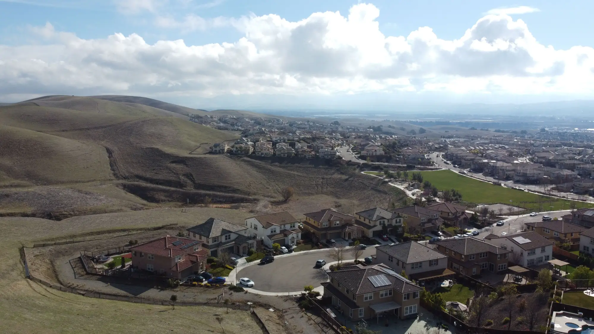
The score sits in the file next to the application and the inspection report, and feeds the renewal review. Book-level results can feed regulator reporting on defensible-space posture, in whatever form the regulator asks.
Limits
What the old inspection still does better
An inspector at the address sees the side of a structure under an overhang, what is stacked against a wall, and what a fence hides. Those stay with the inspection, because imagery looks down from above.
Dense canopy
Whatever grows under a closed tree crown is hidden from the sensor. Near-infrared helps with vegetation type and vigour, and that is all it adds.
Zone 0 is narrow
At 0.5 m a pixel is about 20 inches across. The ember-resistant zone against the structure is only a few pixels wide, so imagery can show vegetation touching a wall but cannot grade it finely. Zones 1 and 2 are where scoring is firm.
Annual is a snapshot
A property cleared last month shows as it was at the last pass until the next one. If timing matters, ask about a re-score.
No fire model
The score measures vegetation against zone definitions. Fire spread and ignition are outside it, and so is any compliance certificate.
Switch if
- You underwrite wildfire-peril property and have more addresses than you can inspect
- You need the same measure on every address at renewal, not a sample
- You are a regulator compiling book-level defensible-space posture
Stay with the inspection if
- You need someone to look under overhangs or at what is stored against the structure
- You need a signed inspection to satisfy your guideline or a statute
- You want a fire-behaviour or loss prediction
FAQ
Questions before your first project
Does this replace the inspection?
For the first look at every address, it can. For the address where an inspector has to stand at the wall, no. You decide which files get a visit.
Does it predict fire spread or ignition risk?
No. It scores vegetation clearance against zone definitions and has no fire-behaviour model in it.
Can it see under dense canopy?
No. A closed canopy hides what is under it, and near-infrared only helps with type and vigour.
How do we check it against our own findings?
Pick addresses you have already inspected. Send the list without your notes and compare our zone scores and diagrams with what your inspector found.
Does a good score mean coverage or a lower rate?
No. It is one input to your own underwriting guideline. We do not set a rating output.
How current is an annual score?
It reflects the pass date. A property cleared since then does not show until the next pass, so ask about a re-score if timing matters.
Whose zone definitions does it score against?
Yours. Send the zone requirements in your guideline or the regulator's rule, and we score against them.
Will it fit our systems?
It comes as a layer for your GIS and as a page per address you can attach. We do not write into your policy administration system.
Who owns the imagery and the results?
Ownership and licence terms are agreed in writing when you start. If your legal team needs them earlier, ask.
How is it bought and priced?
Pricing is set per project. Tell us the size of the book and we will talk it through.
Score your book.
Start with a batch of addresses you have already inspected, and see what the imagery says about each zone.