Field notes: the subdivision that passed every inspection and burned anyway
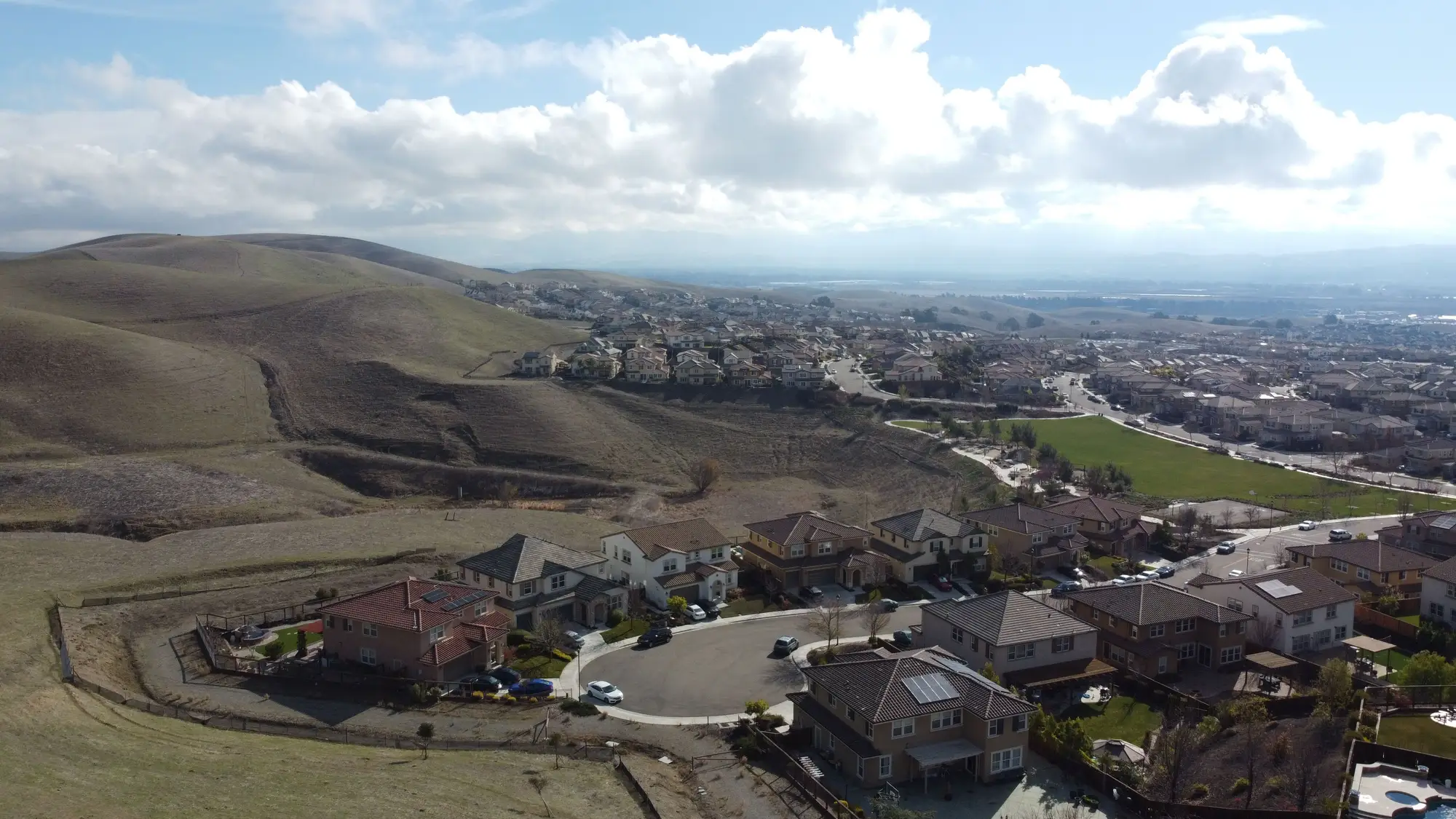
Every underwriter who's worked wildfire peril long enough has read one of these reports. A subdivision passed its defensible-space inspection the spring before the fire. Checkbox by checkbox, every parcel was compliant. Zone 1 clear of flammable debris. Zone 2 thinned to spec. Then the fire came through in September and took a third of the houses anyway, including several that had passed clean.
The post-fire investigation usually turns up the same thing: the inspection wasn't wrong, exactly. It was just measuring the wrong moment, and the wrong radius.
Most municipal inspection checklists are built around a walk-through, once a year or once every few years depending on the jurisdiction's staffing, and they're built around what a person standing in a driveway can reasonably assess in fifteen minutes. That means a lot of attention on the 0-5 foot zone right against the structure, a quick look at the 5-30 foot zone, and often a cursory or skipped assessment of the 30-100 foot zone, especially where that zone crosses into a neighbor's lot or a greenbelt the inspector has no jurisdiction over. A homeowner can clear their own five feet immaculately and still sit downwind of a neighbor's unmaintained slope, an HOA-owned drainage, or a stand of mature eucalyptus nobody has clear authority to touch.
That's the gap ember cast exploits. Embers don't respect parcel lines, and they don't care that the inspection only covered the zones closest to the house. In wind-driven fires, firebrands routinely travel well beyond the outer defensible-space zone, landing in gutters, under eaves, in mulch beds that were compliant at the last inspection but have since grown back. A checklist pass in March tells you almost nothing about fuel load in August, after a full growing season and before anyone's thought to schedule the next walk-through.
The other thing that shows up in nearly every one of these post-fire reassessments is drift between what's compliant on paper and what's compliant on the ground. Vegetation grows. Homeowners plant things. A property that cleared inspection two years ago can accumulate exactly the kind of continuous fuel ladder, that unbroken vertical path of vegetation from ground cover to shrub to tree canopy, that lets a surface fire climb into the crown and start throwing embers at scale. None of that shows up in a file unless someone goes back out and looks again, and going back out and looking again, parcel by parcel, across a whole book of business, is not something most underwriting teams or local fire departments have the staff hours to do on an annual basis.
So the pattern repeats. A compliance regime built on a point-in-time inspection, applied unevenly across parcel boundaries, gets treated as a durable signal of risk when it's really a snapshot that starts going stale the day it's taken. Most subdivisions that burn after passing inspection didn't fail from fraud or negligence. The checklist did exactly what it was designed to do, and the design never covered the exposure that mattered.
This is the argument for scoring defensible space from imagery rather than from a clipboard, at a cadence that catches the regrowth and across the full zone radius rather than just the parts closest to the structure. Defensible Space pulls vegetation type, density, and clearance for each zone around a structure from annual RGB and NIR imagery, so a renewal review or a regulator inquiry isn't relying on whatever an inspector happened to see at one address two years ago. It's a way to see the whole 100-foot picture, updated on a schedule, instead of trusting a single walk-through to hold for the life of the policy.
If your book has parcels that haven't been reassessed since their last clean inspection, that's worth a second look before the next fire season decides it for you.