How to measure crown spacing between trees for wildfire risk assessment
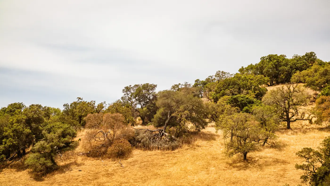
Crown spacing is the gap between the outer edge of one tree's canopy and the outer edge of the next canopy, measured dripline to dripline rather than trunk to trunk. That distinction matters more than most inspection checklists let on. Two mature oaks forty feet apart at the base can have crowns that overlap by ten feet once you account for canopy spread, and overlapping crowns are exactly what lets fire move from tree to tree without ever dropping to the ground. A trunk-to-trunk measurement will pass a stand that a dripline-to-dripline measurement would fail.
What you're measuring
Stand under the widest point of each canopy and mark the dripline, the point where rainwater sheds off the outermost leaves or needles. Measure the horizontal gap between driplines on adjacent trees. On sloped ground, use the horizontal distance rather than the slant distance down the hill. A clump of three young firs growing within a few feet of each other counts as one crown for spacing purposes, since fire treats a tight cluster as a single fuel mass regardless of trunk count.
Slope changes the required gap. Fire preheats fuel faster moving uphill, so most defensible-space standards widen the required crown spacing as grade increases, and some programs widen it again as you move farther from the structure into Zone 2. A spacing that satisfies the requirement on flat ground near the house can fail outright on a 20% slope thirty feet out. A clinometer or a phone-based slope app gives you the grade; a laser rangefinder or a 100-foot tape gives you the horizontal distance once you've accounted for it.
Dead and dying material changes the math too. A crown with heavy dieback or significant dead needle retention carries fire more readily than a healthy one, so inspectors in several programs apply a larger required gap, or flag the tree for removal rather than measuring it at all. If you're working a mixed stand with beetle kill or drought-stressed pine, note which crowns are live canopy and which are standing fuel before you start measuring, because they don't get scored the same way.
Where this breaks down at scale
A single parcel takes maybe twenty minutes to measure properly if the stand is small and the terrain is walkable. A renewal book with eight hundred wildland-urban interface addresses does not get twenty minutes each, and the ones that do get a field visit usually get one every few years, not every renewal cycle. Canopy grows, dies, and gets thinned in the interim, and the file you're underwriting against is often older than the fuel load on the ground.
That gap between what the policy file says and what's actually standing around the structure is the whole problem with crown-spacing compliance as a line item. Adjusters know roughly where the dense parcels are. Nobody has the field hours to re-walk the stand every year to confirm whether last season's growth closed the gap that passed on paper five years ago.
Remote measurement doesn't replace a boots-on-the-ground inspector who can spot dead needle retention or bark beetle galleries up close. It does let you check canopy continuity and crown-to-crown distance across every structure in a territory on the same annual cadence, flagging which addresses have grown back into noncompliance since the last renewal, so field time goes to the parcels that need a walk-through. Defensible Space turns that imagery into a per-address score against your zone requirements, so a crown-spacing question doesn't have to wait for the next scheduled inspection.
If you're scoring a book of wildland-urban interface risk and need to know which addresses have closed canopy gaps since the last renewal, that's the problem Defensible Space is built to answer.