How to measure vegetation clearance around a structure from satellite imagery
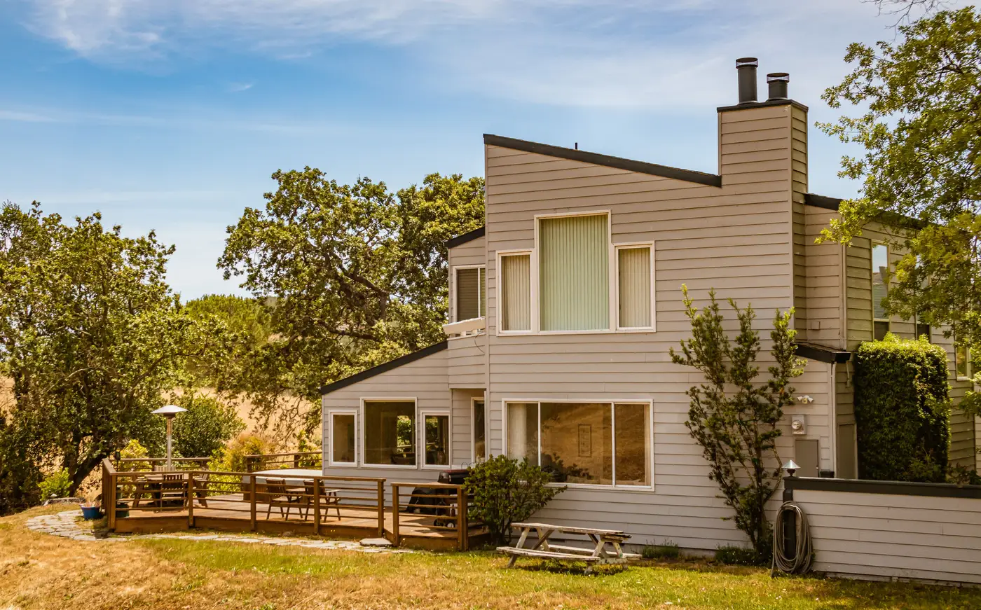
Field crews can walk forty addresses a day if the terrain cooperates and the homeowner is around to open a gate. A book of ten thousand policies, or a county trying to confirm compliance after a new defensible-space ordinance, needs a different starting point. That's where a remote clearance check earns its keep, provided you're clear on what it can actually resolve and what it can't.
What the imagery needs to show
Clearance measurement around a structure only works if the pixel can tell a manzanita from bare soil and a live canopy from a dead one. That takes very high resolution imagery, ≤0.5 m ground sample distance, so individual shrub clusters and crown edges show up as distinct shapes rather than a green smear. RGB alone gets you density and rough vegetation type. Add a near-infrared band and you get a vigor signal: live, moisture-holding canopy reflects NIR differently than cured grass or standing dead fuel, which matters when a zone looks "clear" in true color but is carrying dry fuel the camera's visible bands can't flag. Annual capture is enough to track seasonal fuel buildup and the aftermath of a clearance order, without re-flying every parcel every quarter.
Measuring zone by zone, not the whole lot
Most clearance standards don't score a parcel as one blob of vegetation. They set distances from the structure outward: an immediate zone within a few feet of the wall, an intermediate zone running out to roughly 30 feet, and an extended zone beyond that, with the exact distances and rules varying by state and local code. A remote measurement follows the same logic. The structure footprint, pulled from the imagery or an existing parcel layer, becomes the origin point. Buffer rings get drawn outward at the distances the applicable zone standard calls for, and the vegetation classification layer gets clipped to each ring separately. That gives you a clearance figure per zone instead of a single average that hides a bare front yard next to an overgrown side yard.
Crown spacing and canopy setback are two different numbers
These terms get used loosely, and conflating them is where a lot of desk reviews go wrong. Canopy setback is the straight-line distance from the edge of a tree's crown to the structure, the eave, or sometimes the deck line, depending on what the standard measures to. Crown spacing is a separate number: the gap between the edges of adjacent tree canopies, used to judge whether fire can move crown-to-crown without dropping to the ground. A property can clear its canopy setback requirement from the house and still fail on crown spacing if the trees in the yard are touching each other. Imagery lets you compute both from the same canopy delineation layer, which is the main efficiency gain over sending someone out with a tape measure and a clipboard.
Where a remote clearance check stops
Overhead imagery, at any resolution, sees the top of the canopy. It doesn't see the duff layer under a tree, a woodpile tucked against a fence, or how far ladder fuels run up the trunk toward the crown. Those are vertical-continuity checks that a camera looking straight down genuinely cannot make. The honest use of a remote check is as the first pass across a large book or a jurisdiction-wide sweep: it flags which addresses are clearly compliant, which are clearly not, and which sit close enough to the line that a field visit is worth the trip. It replaces the blanket drive-by, not the inspection on a borderline property.
For underwriters scoring a renewal book or a regulator following up on a clearance notice, that triage step is most of the workload. Defensible Space runs this zone-by-zone measurement from VHR RGB+NIR imagery and returns a per-address score checked against the zone requirements you specify, so the question going into the field is already narrowed down. If you're staring down a book that size, it's worth seeing what that score looks like on your own addresses.