NIR vs RGB: what each band tells you about vegetation near a home
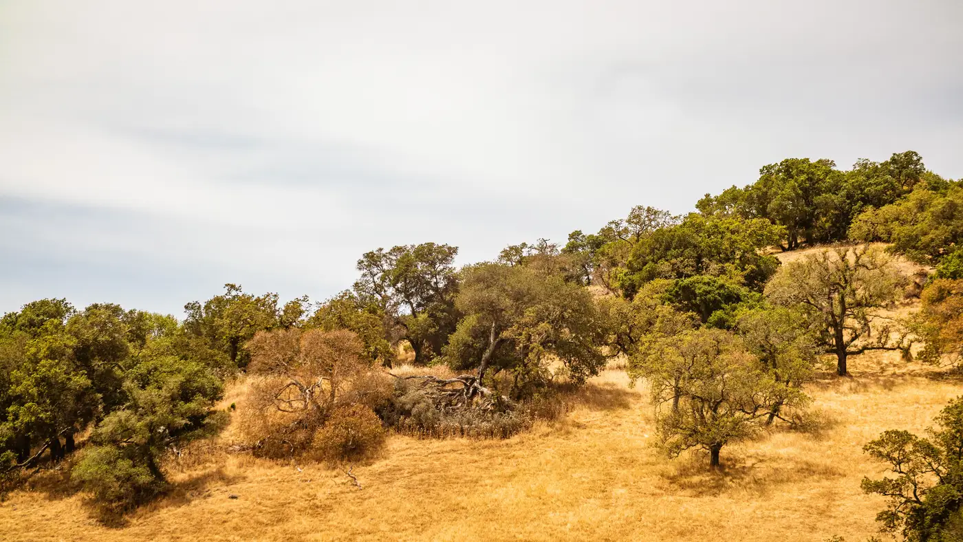
A lot of defensible-space reports still lean on plain aerial photos: RGB imagery, the same red-green-blue bands a phone camera captures. It's useful for counting structures and tracing property lines. It's a poor tool for judging how much fuel sits in Zone 1 or Zone 2, because a photo can't tell you whether that green canopy is a well-watered oak or a drought-stressed manzanita three weeks from cure.
That's the gap near-infrared imagery closes, and it's worth knowing exactly what each band does before you use either one to sign off on a parcel.
What RGB alone tells you
RGB imagery shows color and shape. It's how you spot a structure, trace a roofline, measure a setback, or confirm that a shed got built after the last inspection. For a defensible-space check it answers "is there vegetation here" and "how dense does the canopy look from above."
It can't answer "is this vegetation alive or dead," and that distinction matters more than density alone. A thick stand of green brush and a thick stand of cured, dead brush can look almost identical in an RGB frame, especially at the resolution most aerial or satellite passes deliver. One is a moderate fuel load. The other is a flashpoint sitting ten feet from a wall.
What the near-infrared band picks up
Healthy, actively photosynthesizing plants reflect strongly in the near-infrared range, well outside what the human eye or a standard camera sensor registers. Stressed, drying, or dead vegetation reflects much less. That gap between visible reflectance and NIR reflectance is the near-infrared vegetation signal, and it's the basis for vegetation health bands and indices used across agriculture, forestry, and now wildfire risk work.
Add the NIR band to RGB and the contrast between live and cured fuel becomes something you can put a number on, parcel by parcel. A juniper hedge that reads as uniform green in RGB can show up as patchy, low-reflectance, and clearly stressed once you check it against NIR. That's the difference between a routine trim note and a flag that goes straight to the homeowner.
Why fuel load imagery needs both bands, not one
Neither band alone gives you a defensible-space score. RGB gives you geometry: where the vegetation sits relative to the structure, how tall it runs, whether it's touching the eaves or bridging toward a fence line. NIR gives you condition: how much of that vegetation is live fuel versus cured fuel, and where it's trending toward the latter.
Run them together and you get something closer to true fuel load imagery, built on measurement rather than a canopy outline. A dense, green, well-irrigated landscape bed inside Zone 0 might read as noncompliant on footprint and clearance even though the fuel risk is low. A sparse-looking stand of dried grass in Zone 2 might look harmless from a photo and still carry real fire behavior risk because it's fully cured. Clearance measurements without a health read miss that distinction every time, and a health read without clearance measurements can't tell you where the vegetation sits relative to the zone boundary.
This is the combination Defensible Space is built around: RGB and near-infrared imagery scored against each zone's clearance and density requirements, so an underwriting file or a regulator response isn't relying on a photo alone to make the call.
A practical way to think about it
If you're reviewing imagery for a renewal file or a compliance letter, ask two separate questions instead of one. First, where is the vegetation relative to the structure and the zone lines: that's an RGB question. Second, is that vegetation carrying live fuel or cured fuel: that's a question only the NIR band can answer with any reliability.
A single RGB photo, however sharp, answers the first question and guesses at the second. Pairing it with a near-infrared band turns that guess into something you can actually put a number on and defend if a claim comes back to the file.
If you're ready to see a per-address score built on both bands instead of a photo and a guess, that's exactly what Defensible Space is for.